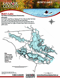
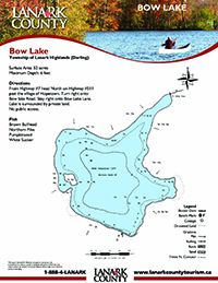
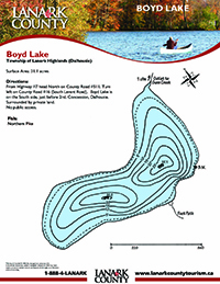
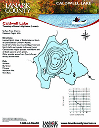
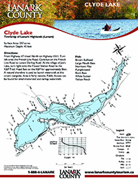
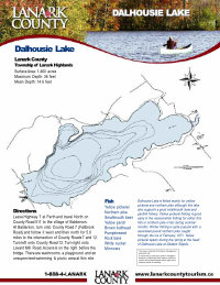
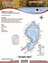
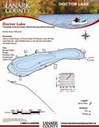
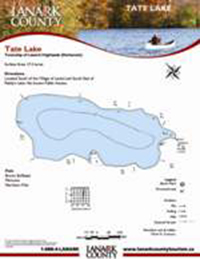
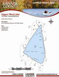
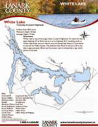
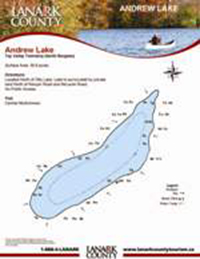
Lake Information
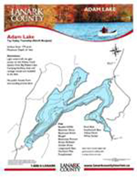
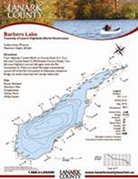
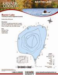
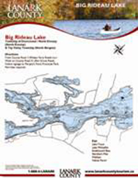
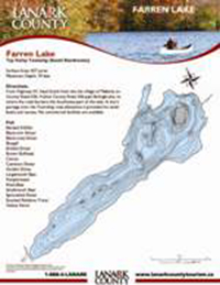
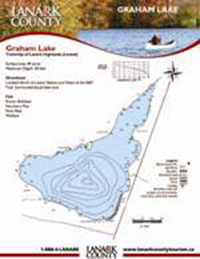
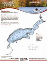
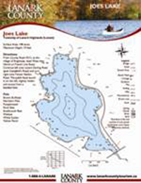
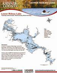
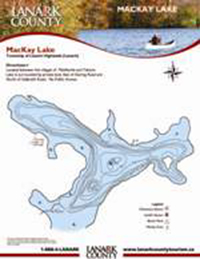
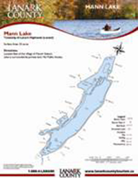
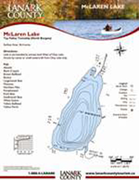
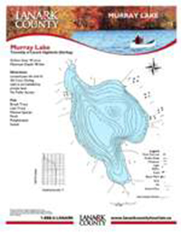
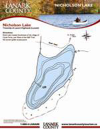
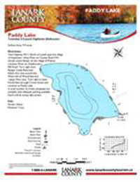
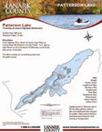
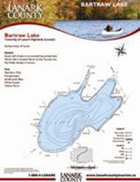
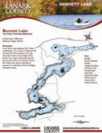
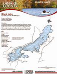
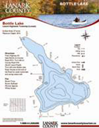
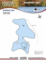
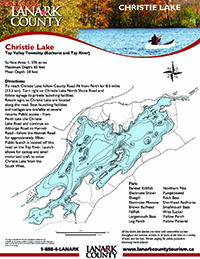
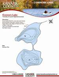
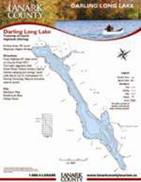
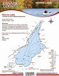
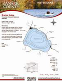
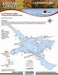
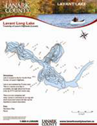
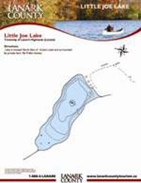
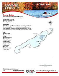
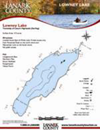
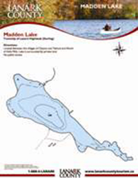
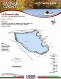
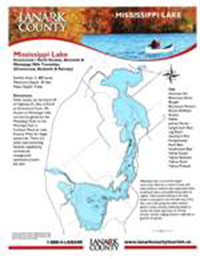
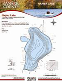
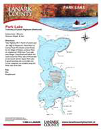
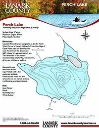
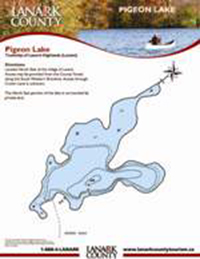
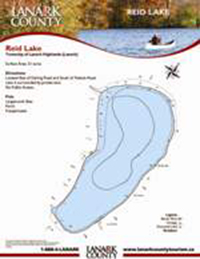
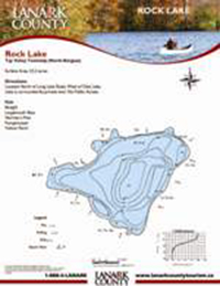
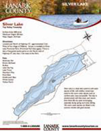
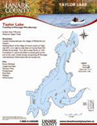
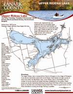
Click on a photo to download a pdf copy of the map with directions supplied from lanarkcountytourism.com website.
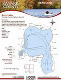
Kerr Lake
Directions: For public access, from Perth take Hwy 511 North of Lanark to Clydesville. The entrance is located at civic number #4152 before Clyde Bridge. Parking is adequate for day use and angling activities. Fish: Northern Pike, Walleye, Largemouth Bass, Yellow Perch, White Sucker, Bullhead.
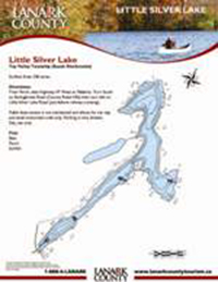
Little Silver Lake
Directions: From Perth, take Highway #7 West to Maberly. Turn South on Bolingbroke Road (County Road #36) then turn left on Little Silver Lake Road (just before railway crossing). Public boat access is not maintained and allows for car top and small motorized craft only. Parking is very limited.
Paddy Lake
Directions: Take Highway #511 North of Lanark past the village of Hopetown. Head West on County Road #16 (South Lavant Road). At the village of Poland, continue West on Umpherson’s Mill Road. Turn right onto Ranger Camp Road and follow this road around the West side of Wood Lake and Upper Park Lake.
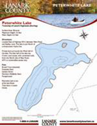
Peterwhite Lake
Located East of Highway #511, between New Road and Radley, Lane. The lake is just North of a three-tower Hydro line. Private land surrounds the West half of the lake. The East half of the lake has Crown Land access, with unmarked trails, from the North side of New Road. ATV or snowmobile access only.
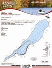
Gillies Lake
Located East of Herron Mills and South of Herron Mills Road (County Road #8). Gillies Lake is situated at Lot 9, Concessions 4 and 5, geographic Township of Lanark, now in Lanark Highlands. Surrounded by private land. There is no public access. Fish: Brown Bullhead, Ling, Northern Pike, Perch.
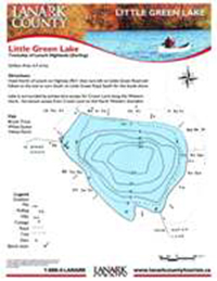
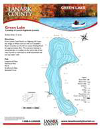
Green Lake
Directions: From Lanark, head North on Highway #5 past the village of White and turn left on Campbell’s Road. Continue to the left on Lavant Darling Road for approximately 3km. The entrance laneway is unmarked but it is visible on the north site of the road. Launch is restricted to small motorized and car-top water craft.
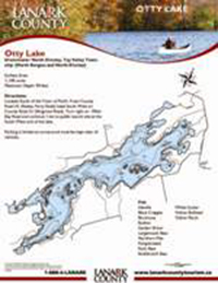
Otty Lake
Directions: Located South of the Town of Perth. From County Road #1 (Rideau Ferry Road) head South West on County Road 21 (Elmgrove Road). Turn right on Miller Bay Road and continue 1 km to public launch site at the South West end of the lake. Parking is limited as turnaround must be kept clear of vehicles.
Park Lake
Directions: Take Highway #511 North of Lanark past the village of Hopetown. Head West on County Road #16 (South Lavant Road). At the village of Poland, continue West on Umpherson’s Mill Road. Turn right onto Ranger Camp Road and follow this road around the West side of Wood Lake to the launch site.
Perch Lake
Directions: Take the forest access road north from the abandoned K&P railway at Clyde Forks a distance of approximately 2 miles. The remainder of the road is recommended only for four wheel drive, all terrain vehicles or walking. Fish: Rainbow Trout (stocked), Perch, White Sucker, Red Belly Dance, Iowa Dartner.

